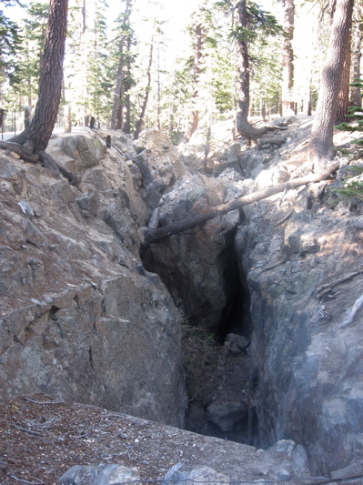
"Earthquake Fault" is a crack not quite a mile long and up to 50 feet deep. It is not a fault, as features in neighboring rocks trace across it, and did not result from any known earthquake. It must be relatively recent (else the crack would have filled in) and may be related to magma flow to the Inyo Craters just to the north, which were erupting as late as 500 years ago.
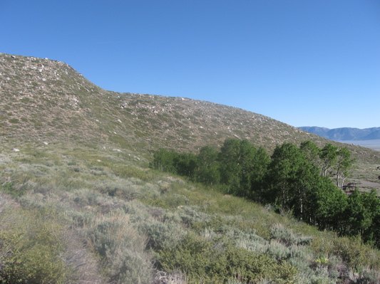
50-foot high fault scarp of the Hilton Creek fault, part of the Sierra Nevada fault zone. The view is from atop the scarp, west of McGee Creek campground that lies down and to the right. The offset to a glacial moraine is visible in line with the top of the scarp.
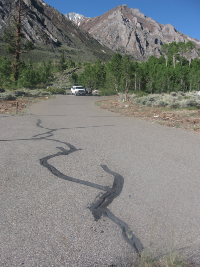
View of the 50-foot high fault scarp of the Hilton Creek fault, looking west past a campsite at McGee Creek Campground. The pavement cracks in the foreground may be unrelated, but show widening consistent with the east-west stretching that activates the fault.
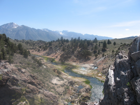
The 100-foot deep gorge of Hot Creek, with hot springs in the middle of the picture and the Sierra Nevada in the distance.
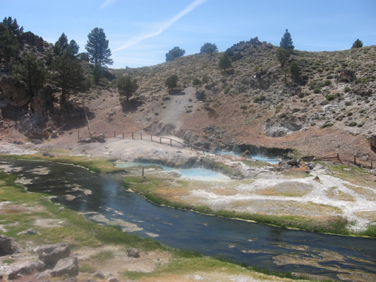
Hot springs at Hot Creek Geological Site. Temperature has been known to rise rapidly, especially after earthquakes, and the site was closed to bathing after some people died from overheating.
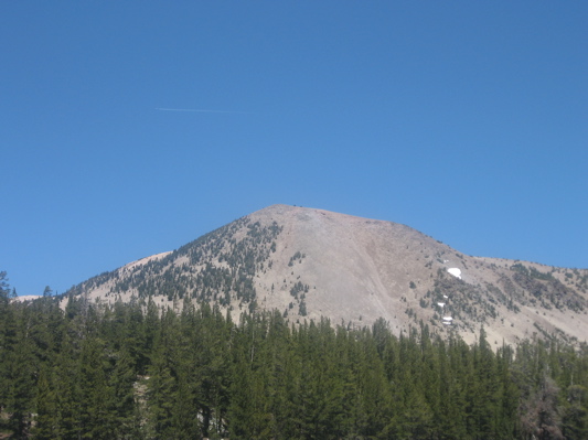
Mammoth Mountain, popular ski destination and an active volcano with steam-emitting fumaroles, as seen from McLeod Lake.
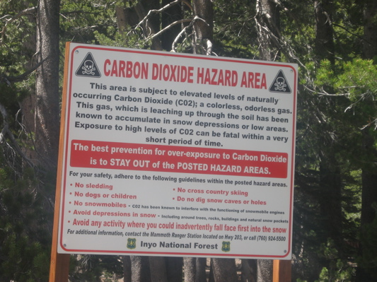
Warning sign at entrance to Horseshoe Lake parking area.
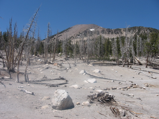
The area north of the parking area at Horseshoe Lake, where carbon dioxide gas emitted around the base of the Mammoth Mountain volcano has deprived plant roots of oxygen, killing all plant life.