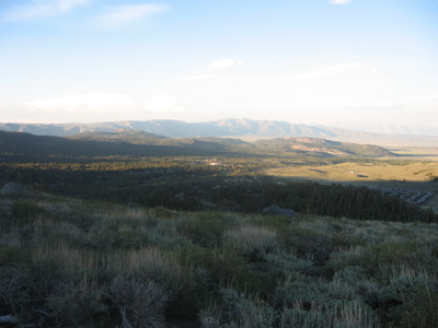
View from Panorama Dome near Mammoth Mountain, across the Long Valley Caldera and the hills of its Resurgent Dome to Glass Mountain 20 miles distant on the opposite caldera rim. White Mountains, about 40 miles away, faintly visible on right.
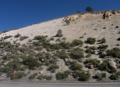
Tuff and pumice of the Bishop Tuff overlies the boulders and unsorted glacier-deposited sediment of the Sherwin Till, at Big Pumice Cut along US 395.
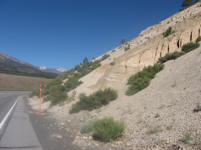
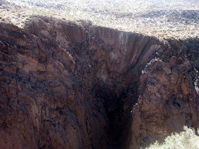
Big Pumice Cut. Banded layers of air-fall pumice record the initial stages of the eruption of the Long Valley supervolcano as it began to lay down the Bishop Tuff. The non-banded material above are ash-flow pumice. The darker vertical ridges of sand with embedded gravel are sediments from above that filled cracks in the tuff.
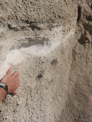
Close-up of top of air-fall pumice layers in Big Pumice Cut.
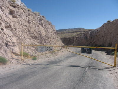
Cut in Bishop Tuff showing pink color of rhyolite tuff on fresh surfaces, due, as in pink granite, to K-feldspar. Chocolate brown weathered outcrops are in distance. Shot-up sign reads: "Department of Water and Power/City of Los Angeles/Upper Gorge Power Plant."
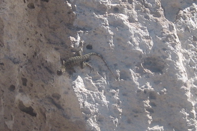
A lizard on Bishop Tuff at the Upper Power Plant turnout.
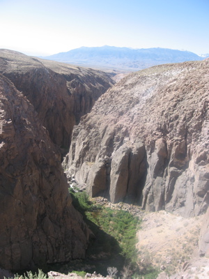
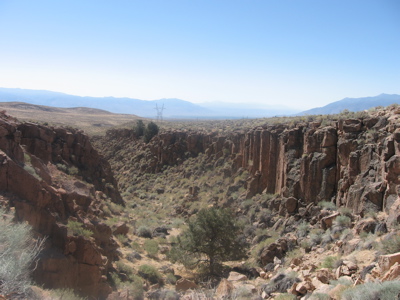
Downstream view of Owens Gorge from Upper Power Plant turnout, with Bishop Tuff. Sierra Nevada in distance.
Columnar jointing in welded rhyolite tuff of Bishop Tuff, seen in tributary canyon near Upper Power Plant Turnout.
Radiating columnar jointing, around a former steam vent in the ash flow, in telephoto view of opposite wall of Owens Gorge from Upper Power Plant turnout.
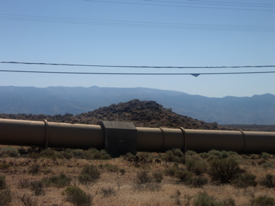
City of Los Angeles aqueduct in front of gas-venting structure on Bishop Tuff ashflow, locally called a "pimple."
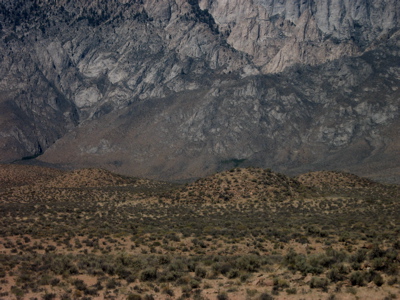
Gas-venting structures on Bishop Tuff ashflow, locally called "pimples." View from Gorge Road includes base of Sierra Nevada .
Irrigated desert floor near Bishop, seen from US 395 as it descends from Volcanic Tablelands of Bishop Tuff. Sierra Nevada in background.