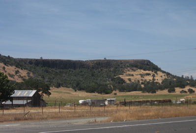
Table Mountain along CA 108 is a basalt flow that flowed down the then Stanislaus River Valley in Miocene time. It has become a long, flat topped ridge because it resisted erosion.
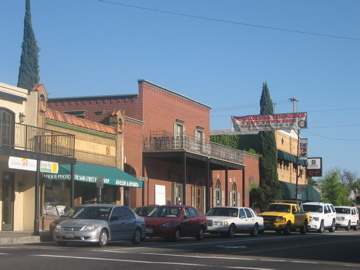
Sonora is a gold rush town along CA 49, founded by miners from Mexico, and the county seat of Tuolomne County.
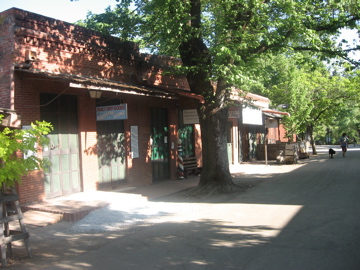
Columbia is a gold mining town preserved in a state historic site.
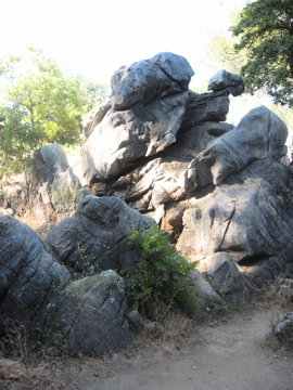
Marble that dissolved into odd shaped pinnacles under thick soil was exposed when hydraulic gold mining lowered the ground level in Columbia by more than 20 feet.
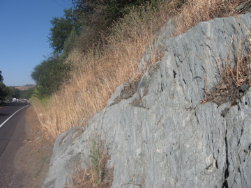
Greenish rock along CA 49 are within the serpentine-bearing Melones Fault Zone.
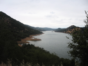
Upper part of Don Pedro Reservoir, formed from damming the Tuolomne River. This straight valley follows easily eroded rocks of the Melones Fault Zone.
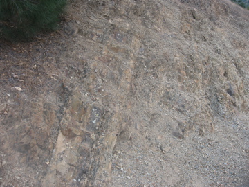
Weathered Mariposa Slate, the formation most closely associated with the Mother Lode, exposed at a vista point along CA 49.